LandInfo WA map view
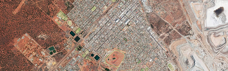
Exclusively for government subscribers, LandInfo WA’s map viewer showcases harnesses SLIP, providing Western Australia’s latest location based information.
It gives you the flexibility to overlay Landgate’s aerial photography and other property related information. Layers such as roads, public transport routes, historical maps, schools and health facilities can be turned on and off at the click of a button. LandInfo WA has incorporated information from many government sources so you know the information you are seeing is all of WA’s data.
For more information and access to subscription services, please email Landgate's Business & Government Solutions Team at BusinessSolutions@landgate.wa.gov.au
© Western Australian Land Information Authority (Landgate) 2023. Use of digital land information is subject to a Licence.